Almost every navigation app warns you when you're approaching a fixed speed camera, and it does so for free. It's worth understanding two things before choosing which one to use: What exactly is "real time"?“ in this type of warning and Who's paying the bill?, since you're not here.
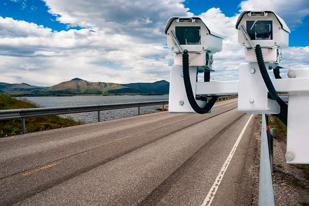
I'll start with the framing, because it changes the tool's value. The warning isn't meant to evade enforcement: in Brazil, fixed speed cameras must be clearly marked on the road, and equipment designed to detect electronic speed enforcement is prohibited by law. What the app does is repeat information already on the sign on the screen—and, along with it, show the speed limit. Used this way, it's a... speed reminder, And that's where it shines.
This guide is about how it works: where the data comes from, why the alert is sometimes delayed, how much battery and data it consumes, what a navigation app sees about your life, and what to do if the fine still arrives.
What does "real-time" mean in this type of notification?
The alert that appears on your screen is the result of three layers with very different speeds:
- The fixed radar base. It's a list of coordinates, updated periodically by the developer. It's not real-time: a new piece of equipment might take weeks to be added, and a deactivated one might remain marked for a while.
- Your position. This one is instantaneous, calculated by the cell phone's satellite receiver several times per second. This is what allows the app to warn you in advance.
- Reports from other drivers. Here, "real-time" means "a few minutes ago." Someone reported an inspection, accident, or pothole, and the server disseminated it. The information becomes outdated quickly, and the system itself removes it when no one confirms it.
In other words, the only truly continuous component is your location. The rest is given with an expiration date—which explains why no app can promise to notify you of everything.
How does your cell phone know your speed?
The device receives signals from various navigation satellite constellations and, by the time difference between them, calculates its location. By comparing successive positions—and using the frequency variation caused by its own movement—it arrives at the speed. This is why the number displayed is usually closer to the actual speed than the one on the car's dashboard, which as a rule can indicate a value higher than the true speed, never lower.
This calculation has well-known enemies: tunnels, overpasses, garages, dense forests, and hallways in tall buildings, where the signal reflects and the position "jumps." In these situations, the alert is delayed or doesn't come at all. Cell phones compensate for some of this with internal motion sensors, but it's an estimate, not a miracle.
Why is it free? — Who pays the bill?
Maintaining maps, servers, and databases is expensive, so it's worth knowing where the money is coming from. There are four legitimate models, and one that's best avoided.
- Advertising on the map. Brands pay to appear as sponsored points along your route. It's the most common model in free apps.
- Aggregated traffic data. Anonymized user traffic becomes a product sold to public agencies, urban planners, and logistics companies. It's the same data that feeds into the real-time traffic information you use.
- Paid version. Some apps sell subscriptions to remove ads, unlock offline maps, or provide extra alerts.
- Ecosystem. Large platforms offer free navigation because it keeps you within their map, search, and review services.
- And the bad model: A small app that resells detailed location history. Location is one of the most valuable pieces of data that exists, and an obscure navigation app is a perfect place to collect it.
Privacy: What a browsing app sees
It's good to be clear about what you're getting in return for the service. A navigation app sees where you are, what time it is, how often you stay, and how long you stay in each place. With just a few weeks of this information, it can infer where you live, where you work, what day of the week you visit someone, and what time you usually get home.
What can be done about it without abandoning the tool?
- Grant location access "only while in use". A navigation app doesn't need permanent background access.
- Look for the route history in the settings. And turn it off if you're not using it. Where it exists, there's also usually the option to delete what has already been saved.
- Be wary of incompatible permissions. Navigation requires location services and, at most, a microphone for voice commands. Contacts, SMS, calls, and permission to install other applications are reasons to uninstall immediately.
- See who developed it. An identifiable company, with its own website and a readable privacy policy, is the minimum requirement for an app that knows where you sleep.
- Never install files from outside of official app stores. It applies to everything, and here it applies doubly so.
Battery, data, and overheating
Browsing the internet is probably the most battery-intensive task on a cell phone: screen on at high brightness, satellite receiver active all the time, and network in constant use. On long trips without a charger, it's common to see the battery drop even with the cable connected—because consumption exceeds recharging.
What really helps: downloading the map of the region in advance, which reduces network and processing usage; using dark mode at night; keeping the stand out of direct sunlight, because heat reduces the device's performance and slows down charging; and using a decent car charger, since weak ones can't handle the power consumption.
Regarding data consumption: browsing itself uses little data. What adds up is the map loading new segments and, mainly, the ads. Offline map solves both problems.
Errors that cause the alert to be delayed or not sound.
- The cell phone is in my pocket or in the glove compartment. Without a clear view of the sky, the position takes time to stabilize.
- The system's battery saving mode killed the background app. On many devices, you need to enable the navigation app to access this optimization.
- Location permission was granted "only this time". On the next trip, the app opens without access.
- The application volume is separate from the system volume. Many people think the alert doesn't work when it's just silent.
- The map is outdated. It's a good idea to open the app on your home Wi-Fi before traveling and let it update.
- The passage is new. Newly widened highways and construction detours take time to reach the base — and that's precisely where enforcement usually shows up.
How to choose between free apps
Instead of asking which is "the best," it's worth checking five points that vary from person to person:
- Does the foundation adequately cover your area? This app, which is excellent in a capital city, may be poor in rural areas. Test it on a route you know well.
- Does it work offline? If you drive on roads with poor signal, this item is worth more than all the others combined.
- Does it show the road's limit and warn you when you cross it? It's a feature that's useful every day, and not every app offers it.
- Does it integrate with the car's screen? Projecting the navigation onto the dashboard is safer than looking at the support.
- How much of the ad does it show in motion? Advertisements that appear while driving are a safety issue, not just an annoyance.
If the fine arrives anyway
No app prevents ticketing, and the system can fail. If the notification arrives, the procedure is as prescribed by law: first comes the... notification of infraction, with a deadline to present a preliminary defense and to indicate the driver, when you were not the one driving. Then comes the penalty notification, with a deadline for appeal to the adjudicating body.
Two practical observations: keeping the address updated in the vehicle registration is what guarantees that the notification arrives on time — missing the deadline due to a lost letter is the most common mistake. And a screenshot from the app doesn't serve as proof: what is discussed in an appeal is the regularity of the equipment, the signage, and the procedure.
When warnings become noise: alert fatigue.
There comes a point where more warnings become less helpful, and it arrives quickly. A navigation app with everything turned on warns of speed cameras, potholes, stopped vehicles, occupied shoulders, police checkpoints, objects in the road, dedicated lane cameras, and even asks if that alert reported by another driver is still there. After about ten of these in a twenty-minute trip, the brain does what it always does with repeated stimuli: it stops paying attention.
The problem is that he stops paying attention to all, ...including in what mattered. It's the same mechanism as a car alarm that nobody looks at anymore. And, in traffic, an ignored warning is worse than no warning at all, because it gives a false sense of security.
Pruning that works:
- Keep the speed limit warning on. It's the only one that serves one hundred percent of the route, every day.
- Keep the radar alert fixed. It's rare enough not to become noise.
- Turn off the categories you never use. If you're not going to swerve because of an object in the road two kilometers ahead, the warning is just wasting your attention.
- Disable confirmation of alerts from other users. She's the one who makes the app ask you questions while you're driving.
- Prefer short voice warnings to beeps. You understand the voice without looking; a beep forces you to look on the screen to see what happened.
After pruning, the package is left with two or three warnings per route — and each one of them takes on a new meaning.
The limit shown on the screen is incorrect.
It happens frequently, and almost always for one of these reasons:
- The road has been re-signposted, and the map doesn't know it. The limit data comes from surveys and user contributions; recent changes take time to be implemented.
- The app thinks you're on the wrong track. On an avenue with a service road, a mistake of just a few meters will send you from the expressway to the side road—which has a much smaller limit. The screen automatically adjusts when the position is corrected.
- The limit there is variable. Sections with school hours, reversible lanes, and construction work have speed limits that change throughout the day. The map shows a number; the sign shows the rule.
- The passage simply doesn't contain the data. On streets without registration, the app shows the last known limit, or nothing.
The golden rule remains the same: The license plate is the official source; the app is an outdated copy of it.. And if you want to do something about it, the main apps accept map corrections — the process usually involves opening the location on the map, choosing the option to report a problem, marking that the limit is incorrect, and entering the license plate value. Do this while stopped at home, upon arrival. Corrections submitted by multiple drivers are what cause the data to be revised.
The car's navigation system and the cell phone's: which one is in charge?
Those who own a car with a multimedia system end up with two sources of information at the same time, and they frequently disagree.
The embedded system usually includes its own map, updated in long cycles and sometimes via a paid service. Its advantage is integration: instructions appear on the dashboard, audio uses the speakers, and nothing depends on a cell phone battery. The disadvantage is the age of the map—a new section may take much longer to appear there than in the cell phone app, which updates automatically every week.
There is also a third source in many recent models: a Front camera that reads the speed limit sign. It displays the number on the dashboard. It has the advantage of reading the actual signage, and the disadvantage of being confused with exit signs, truck stickers, and sections where the sign is dirty or obscured.
In practice, the least troublesome arrangement is to use the phone's projection on the car's screen: you get the most up-to-date map, in the safest place to look, and the sound comes through the vehicle's system. And, when all three sources disagree, the license plate counts.
Warning for those who are not driving.
The same app changes its usefulness quite a bit outside of the car, and what really changes is... how the notification reaches you.
When riding a motorcycle, looking at the phone's handlebar mount is expensive and uncomfortable with a helmet. The solution is audio: use compatible headphones or an intercom, with the app configured to speak briefly and loudly enough to overcome the wind. It's also worth securing the device well and checking if it can withstand rain and direct sunlight—overheated phones reduce performance and can cause the screen to shut off mid-ride.
When cycling or walking, the radar alert becomes irrelevant, but two features are added: vibration alerts on the wrist, when a watch is connected, and the cycling route profile, which prioritizes bike paths and avoids fast-moving traffic lanes. It's the same app, with a completely different purpose — and, in these modes, the offline map is even more valuable, because battery consumption with the screen on is what usually ends the ride prematurely.
Questions from someone who drives every day.
Can you use two navigation apps at the same time?
It works, but it's not worth it: they both compete for audio, both use the satellite receiver, and the battery runs out halfway through the time. It's better to choose one and adjust it properly.
Why does the warning arrive too late on the highway?
Because the warning time is calculated based on distance, and distance translates to a short time at high speeds. Several apps allow you to increase the warning time in your navigation settings.
Does the app work with the screen off?
Voice alerts will continue as long as the app is not in system battery saving mode. This is a good mode for familiar routes where you only want the limit alert without the screen being lit.
Is it okay to turn off the app on a route I know by heart?
Traffic and speed limits remain useful even on the way home — and it's precisely on familiar routes that we operate on autopilot. If it bothers you, just leave the speed warning on, without a planned route.
Is a police checkpoint alert the same thing as a speed camera alert?
No. One is a fixed point registered and marked on the road; the other is a user report about a temporary operation, which becomes outdated in minutes and may have already ended when the notification arrives.
Read also
- Driving Theory Test via Cell Phone: What the Apps Do and What They Don't
- Speed Camera Alerts on Cell Phones: What the Law Allows and What it Prohibits
- View Your City by Satellite: The Apps and Why the Image Isn't Live
- Free Offline GPS: How to Download the Map and Navigate without Data
- GPS Without Internet: 5 Apps with Offline Maps to Download Beforehand
Common questions
Is the radar warning really free?
Yes, in the most used navigation apps. The account is paid for with advertising on the map and with the sale of aggregated traffic data. There is no hidden monthly fee, but there is a trade-off — and that is your location.
Does the alert system truly work in real time?
Your location is calculated in real time; the radar list is a periodically updated database; and reports from other drivers are a few minutes old. Only the first layer is instantaneous.
Is it allowed to use this type of app?
Yes. What Brazilian law prohibits is the installation of electronic speed enforcement detection equipment in vehicles. A navigation app that shows marked speed cameras is legal — but using it while driving is a very serious offense.
Why didn't he warn about the existing radar?
Either the equipment is new and hasn't yet been deployed to the base, or the satellite signal was degraded in that area, or the application was suspended in the background to save battery power on the device.
Does it consume a lot of mobile data?
The navigation itself consumes little data; the burden lies in the maps loading new segments and the advertisements. Downloading the map of the region via Wi-Fi before traveling solves almost everything.
Is it worth paying for an alert app?
For most people, no: the free ones already show lane limits and fixed speed cameras. A subscription makes sense for those who drive a lot in poorly covered areas and want a complete offline map without ads.
Conclusion
The radar warning is a small feature within a larger tool, and it works best when you stop seeing it as a gimmick. The truly valuable part of the package is something else: knowing the speed limit of the road you're on, being warned when you exceed it, and being able to drive steadily, without sudden braking or surprises.
Choose an app from an official store, from an identifiable developer, check the permissions it requests, download the map before traveling, and configure everything with the car parked. Once that's done, you have a discreet and free co-pilot—knowing exactly what it sees, what it doesn't know, and who's paying the bill.